We understand that time is money for both you and your customers. Long wait times or missed arrival times can make the difference in a successful delivery and a returning customer. Over the last year, we’ve made significant investments in our mobility services. These services help enable more seamless on-demand or last-mile pickups and dropoffs for both drivers and end consumers.
Drivers and delivery couriers can now use new hyperlocal data in our updated and more detailed basemap. By integrating Navigation SDK into your Android or iOS app, your app will show traffic lights and stop signs along the route, and provide more fluid camera and zoom controls. Combined, this creates a vastly improved navigation experience that can help reduce the number of failed deliveries and speed up average delivery time.
From our partners:
Minimizing last mile errors with enhanced building context
In our daily travels, we often rely on buildings, nearby businesses, and local points of interest to orient ourselves and navigate from place to place. This is especially true for drivers navigating the last mile of a trip, picking up a rider or dropping off an order. It’s so much easier when they can see exactly where the dropoff point is. Now you can highlight the destination building your driver is headed. Building outlines and building numbers are visible during the driver’s turn-by-turn guidance, minimizing last mile errors and failed deliveries. And the addition of highlighting the exact building your courier is headed to helps increase the likelihood of pickup and dropoff success.
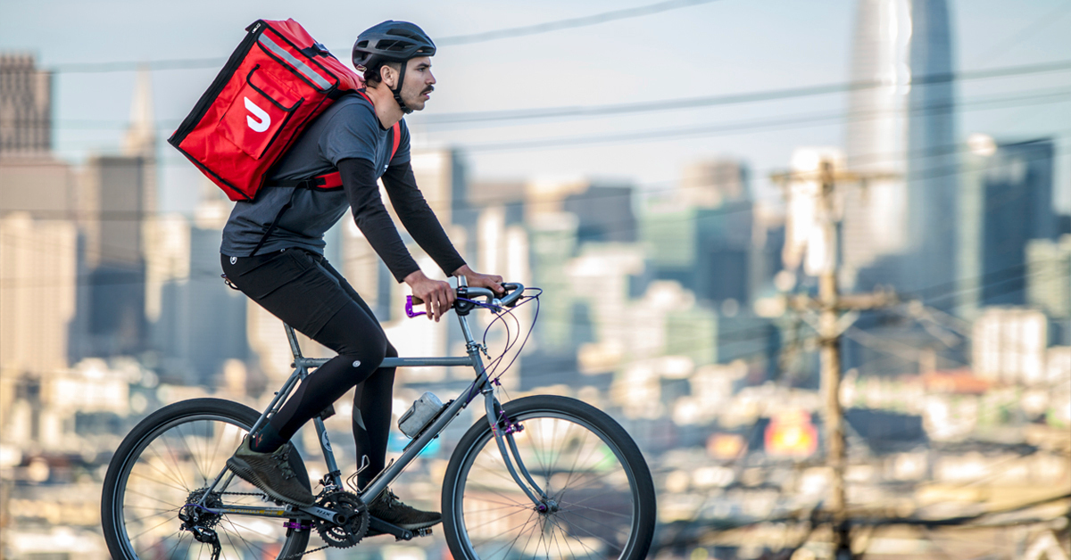
DoorDash helps drivers reclaim time and keeps customers happy
DoorDash, a technology and logistics company, started using our On-demand Rides and Delivery solution for their door-to-door delivery services. We worked with DoorDash’s Product and Data Science teams to help identify challenges unique to the delivery industry.
We identified the time and effort for drivers to reach the customer during the final section of their drive as one of their top challenges. In order to improve total delivery time and reduce failed delivery rates, the Google Maps Platform team updated the following On-demand Rides and Deliveries solution features:
- Increased driver context upon arrival by adding building outlines and building numbers to the map
- Improved arrival notifications with better underlying location accuracy via road snapping logic improvements
- Enhanced map details and location context by customizing zoom and camera controls for an uninterrupted and smooth transition during navigation.
Google Maps Platform is an invaluable part of DoorDash’s business. Every minute and every second matters. One of the most time-consuming and expensive components of delivery is the physical handoff to the customer. Working directly with the Google Maps Platform team, we identified ways to reclaim some of this time for the drivers so they can complete more orders. With these new features, we saw a significant improvement in delivery time per order, which translates to over 2 million hours saved per year.
Running operations in the ridesharing and delivery space is unique because the stakeholders are all on the move: consumers’, riders’, and drivers’ needs change on each trip or order. Google Maps Platform provides the most up-to-date information to help drivers navigate seamlessly. Companies using our On-demand Rides and Deliveries solution can save time, improve customer experiences, and ultimately create more value. Check out our website for updates as we continue innovating on the navigation and arrival experiences for consumers and couriers alike.
By Hendrik van Wyk, Global Head of Customer Engineering | Mohit Moodra, Product Manager
Source Google Cloud
For enquiries, product placements, sponsorships, and collaborations, connect with us at [email protected]. We'd love to hear from you!
Our humans need coffee too! Your support is highly appreciated, thank you!
